3D Laser Scanning for
Civil Infrastructure in South Africa

Map complex environments rapidly and safely. Our 3D laser scanning services deliver high-density data for roads, bridges, railways, and large-scale topographical surveys.
Request an Estimate
Millimeter-accurate 3D mapping and topographic surveying for civil infrastructure projects

Infrastructure Solutions

Deliver critical infrastructure projects on time by minimizing surveying risks and maximizing data quality.

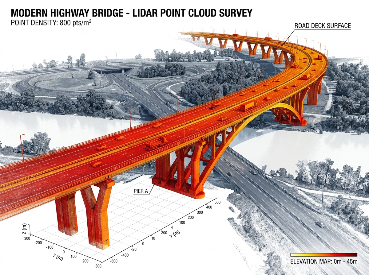
Road & Bridge Surveys

Capture structural details of bridges and highways without shutting down critical transport arteries, improving safety and efficiency.

Topographical Mapping

Generate highly detailed digital terrain models (DTMs) over large areas for accurate civil design and runoff analysis.

Volume Calculations

Achieve unparalleled accuracy when calculating cut and fill volumes for major earthworks projects.

State-of-the-Art Technology & Accuracy

We utilize industry-leading hardware and software to deliver sub-millimeter precision for the most complex surface and underground projects.

Sub-Millimeter Tolerances

Our advanced 3D laser scanners capture spatial data with unprecedented accuracy. Whether scanning intricate mechanical parts or expansive architectural structures, we guarantee sub-millimeter tolerances to ensure your digital twin is a flawless representation of reality.

Advanced Backend Processing

Capturing data is only the first step. We leverage high-end processing software including Maptek PointStudio, Deswik, and standard CAD/BIM environments. This allows us to handle massive datasets seamlessly, providing you with actionable insights for complex civil, mining, and architectural projects.

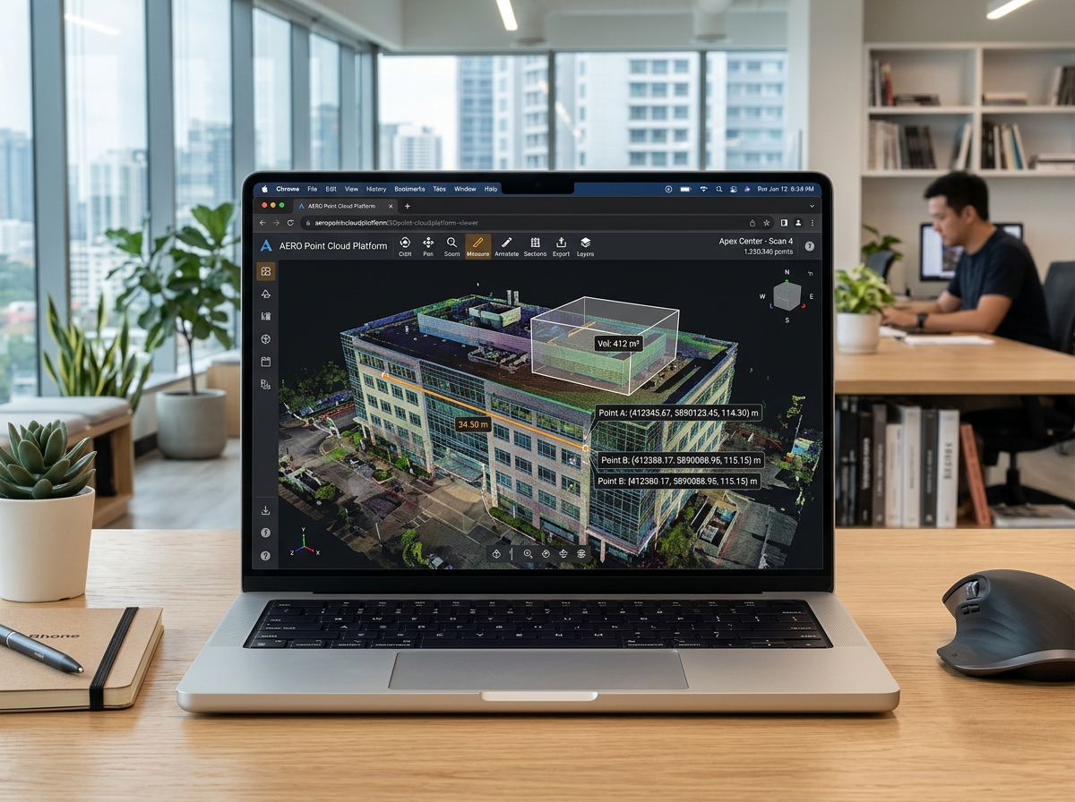
Zero-friction cloud platform for point cloud data and digital twin delivery directly to your browser

Point Cloud Data Ready for Revit, AutoCAD, and Maptek.

Don't have specialized CAD software? No problem. We provide all our point clouds and digital twins via a highly intuitive, browser-based cloud platform.

  • Measure & Crop directly in your web browser.
  • Share Instantly with non-technical stakeholders.
  • No Heavy Downloads or expensive software licenses required.

Ready to Start Your 3D Laser Scanning Project?

Get an instant price estimate for millimeter-accurate point cloud data, Scan-to-BIM Revit modeling, and 3D reality capture across South Africa.

Request an Instant Estimate Call a Technical Expert
Have an RFP or floor plans? Email us directly.

Trusted by Top AEC & Mining Firms Across South Africa

Anglo American
Eskom
Omnia
Wilmar
BMSA
FRYS Metal
Santasalo
Anglo American
Eskom
Omnia
Wilmar
BMSA
FRYS Metal
Santasalo