3D Laser Scanning
Capturing Johannesburg's infrastructure with millimeter precision to deliver highly accurate point cloud data for engineering analysis.
View Service Capabilities →Providing industry-leading 3D laser scanning services in Johannesburg and the surrounding industrial zones. From high-definition topographic surveying for mining operations to Scan-to-BIM modeling for commercial architecture, we deliver the exact spatial metrics required to mitigate execution risk.
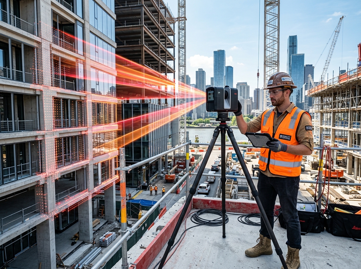
As the commercial and industrial landscape of Johannesburg evolves, the demand for precision engineering has never been higher. 3D Scan Metrics provides localized, rapid-response 3D laser scanning services (LiDAR) directly to sites in Johannesburg and surrounding areas. By digitizing your physical assets into millimeter-accurate digital twins, we help local engineering and architectural firms dramatically reduce site revisits and eliminate costly construction clashes before they occur.
Capturing Johannesburg's infrastructure with millimeter precision to deliver highly accurate point cloud data for engineering analysis.
View Service Capabilities →Converting local commercial building scans into LOD 300-500 Autodesk Revit models for intelligent facility management and architectural retrofits.
View Service Capabilities →Providing local industrial plants with parametric CAD models of obsolete heavy machinery components, ready for immediate CNC remanufacturing.
View Service Capabilities →Conducting rigorous deviation analysis and First Article Inspection (FAI) to ensure manufactured parts meet exact CAD design tolerances.
View Service Capabilities →We deliver registered point cloud data in .RCP, .E57, and .LAS formats (100% compatible with Autodesk Revit, AutoCAD, Navisworks, and ArchiCAD), as well as native 3D .RVT BIM models (LOD 200–500) and 2D/3D .DWG CAD drawings ready for immediate design workflows.
Our high-definition terrestrial LiDAR scanners achieve sub-millimeter to ±2mm spatial accuracy. This millimeter precision allows engineering and architectural teams in Johannesburg to pre-detect clashes and eliminate costly site rework before fabrication or construction begins.
A Point Cloud is a raw 3D digital measurement map composed of millions of laser points (.RCP/.E57). Scan-to-BIM converts that raw point cloud into an intelligent, parametric 3D Revit model (.RVT) containing smart building objects like structural beams, walls, pipes, and MEP systems for architectural design and facility management.
Our localized survey teams in Johannesburg can mobilize within 24 to 48 hours of project approval. On-site scanning is up to 75% faster than manual surveying (typically 1 to 2 days on site), and registered point clouds or 3D BIM models are delivered within 3 to 5 business days.
Yes. Non-contact terrestrial laser scanning operates safely from a distance without touching equipment or disrupting plant operations. Our field surveyors hold safety certifications and medical clearances to operate on active construction sites, chemical plants, and underground mines across South Africa.
Pricing is based on site square footage/acreage, spatial complexity (e.g., commercial building vs. complex industrial MEP plant), and requested deliverable type (raw point cloud vs. LOD 300–500 BIM model). You can request an instant indicative cost estimate via our online estimator tool.
Get an instant price estimate for millimeter-accurate point cloud data, Scan-to-BIM Revit modeling, and 3D reality capture across South Africa.
Trusted by Top AEC & Mining Firms Across South Africa